
Telling a Story with Maps! Spotlight on ITD’s GIS Program
This month, we had the opportunity to sit down with Geographic Information Systems (GIS) Analyst III Allen Dailey from the Information Technology Department (ITD) to learn more about the important work happening behind the scenes to support county services.
Allen’s path to GIS began with a love for geology and maps. After interning with the County, he officially joined the team full time in 2020. His journey is a unique one, having transitioned from a career as a college English professor to a GIS Analyst.
If you are wondering, as we were, GIS is a powerful tool used across industries including utilities, transportation, major corporations, and government agencies. At its core, GIS combines data with geography to help tell a story and solve real-world problems.
Within the county, GIS plays a critical role across multiple departments, with GIS analysts in the Agriculture Department, the Assessor’s Office, Environmental Health, ITD, Planning and Building, and Public Works.
The ITD GIS team also provides support to a variety of departments, including Sheriff dispatch, Social Services, elections and redistricting, parcel mapping and property assessments, road maintenance, and health inspections, as well as collaboration with Cal Poly, Cuesta, and individual city agencies in SLO County.
One recent example of GIS in action comes from the Public Health Department, which used GIS mapping to identify the most effective locations for outreach to eligible food bank recipients. This type of data-driven approach ensures services reach the communities that need them most.
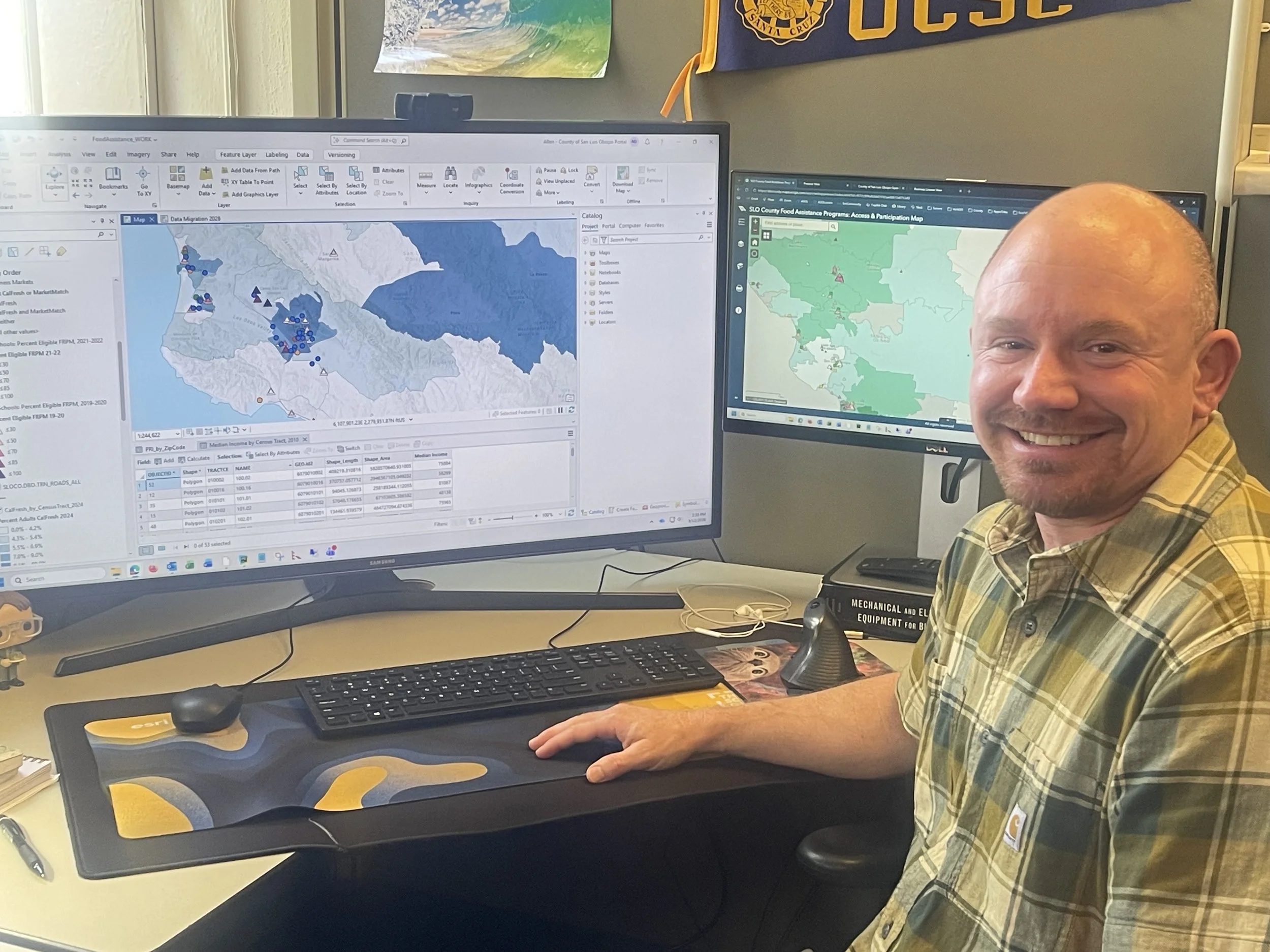
Allen also maintains a web map for the county’s In-Home Support Services (IHSS) workers within the Department of Social Services. The map displays the locations of all their clients. In emergency situations, such as wildfire, staff can use the map to quickly identify clients’ home locations and generate a list of those within an evacuation zone. This allows staff to respond efficiently and assist clients with evacuation if needed. As a result, the map plays a critical role in ensuring the safety of county residents who rely on in-home support services.
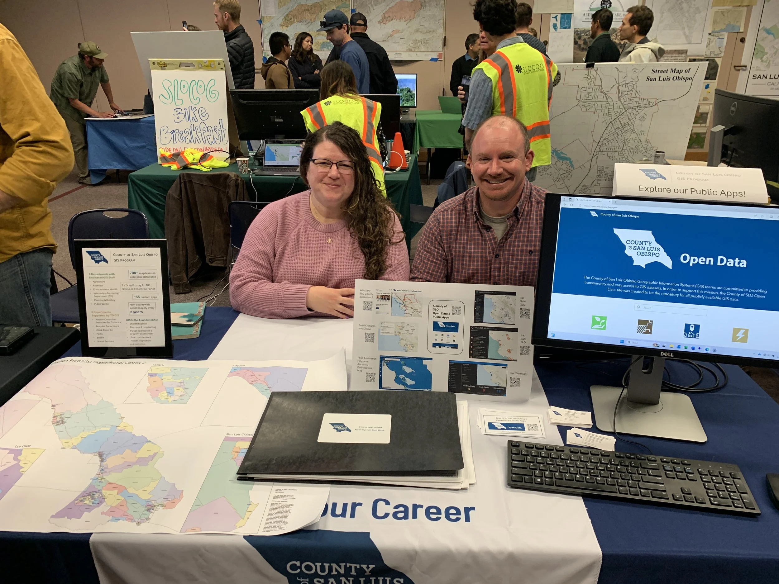
Each November, the GIS team participates in an international event to highlight how GIS is used locally by government, academic, and private industry professionals. This year GIS Day will be held on November 18 at the San Luis Obispo Library. Be sure to drop in and see how GIS is being used in the county.
For Allen, one of the most rewarding aspects of his role is the creative side of map design. He enjoys working with color, layout, and the visual elements that bring a map to life. Outside of work, he continues to pursue his passion by creating a watercolor style map of the Morro Bay Estuary using GIS software. Allen is especially drawn to the balance between artistry and technical skill, combining graphic design with the programming, coding, and database development that power GIS. For him, coding offers a creative challenge, with a clear goal to build something meaningful and functional.
The value of GIS to our county cannot be overstated. The ITD team manages the GIS program and infrastructure that supports the entire organization, while also assisting departments with software, troubleshooting, and implementation. Their work ensures that data is not only collected but transformed into meaningful insights that benefit the community every day.
From mapping critical services to designing visually compelling representations of our region, Allen Dailey and the ITD GIS team are helping shape smarter, more connected communities; one map at a time.
If you or your team would like to be featured in the Blade to highlight your county job, please reach out to Carrie McGrath or Jennifer Tate at SLOCEA. We would love to share your story!

Carrie McGrath
Labor Representative